
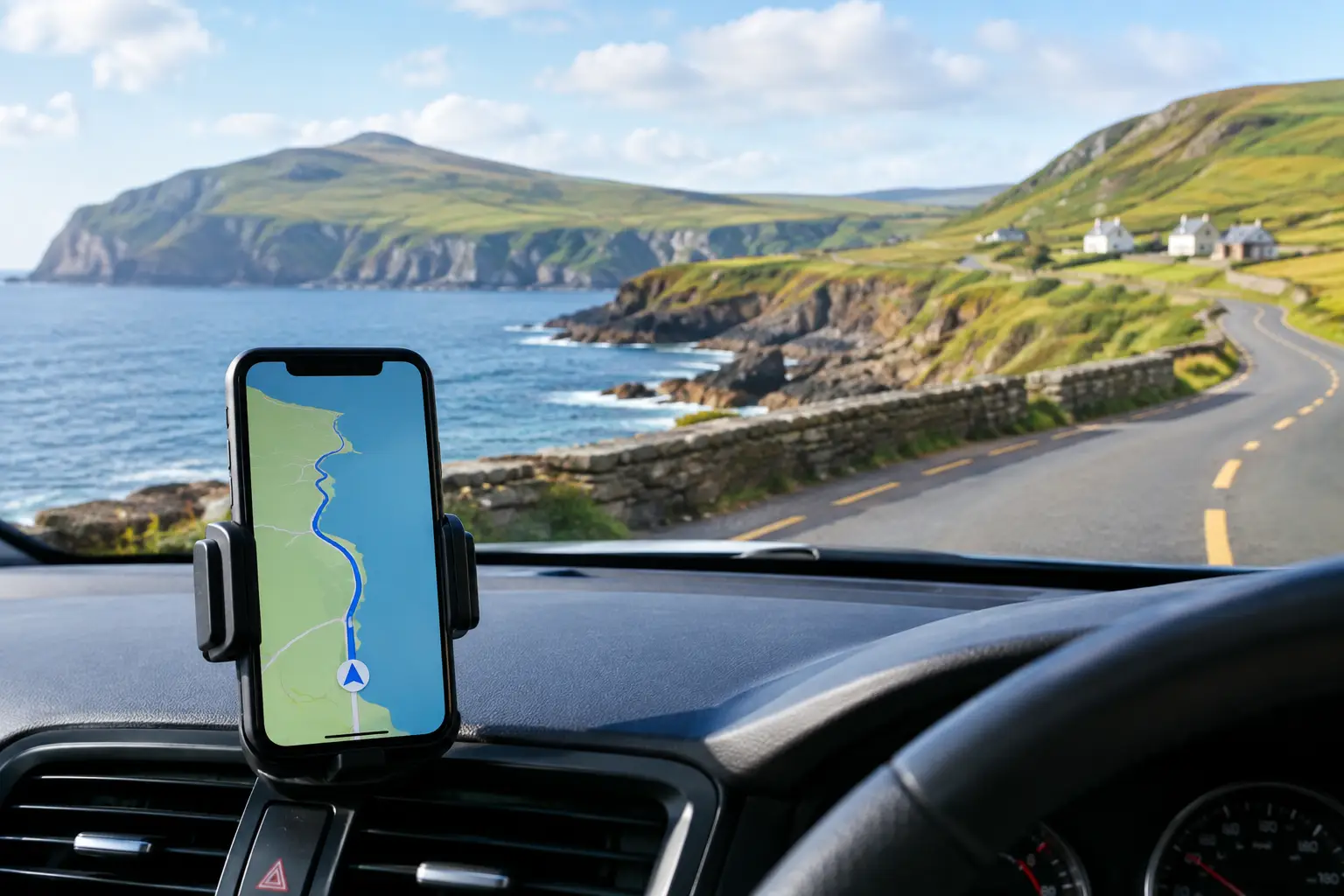
A missed turn on the Ring of Kerry can be harmless if you have time to spare, but it is less enjoyable when it leads you down a narrow lane with an approaching coach. The best Irish driving apps help independent travellers make better decisions as they go: which route to follow, where to park, whether a delay is building, and which worthwhile stop lies just ahead.
No single app does everything perfectly. A sensible phone setup combines dependable navigation with live road information and, if sightseeing is the point of the journey, a guide designed for the route rather than just the fastest arrival time. Download what you need before leaving your accommodation, and carry a charging cable or in-car charger. GPS and screen use can drain a phone more quickly than expected on a full day of driving.
What makes a driving app useful in Ireland?
Ireland is straightforward to explore by car, yet the practical details vary by region. Motorways and main roads can make long cross-country journeys feel easy, while coastal routes, mountain passes and rural peninsulas demand more patience. Roads may be narrow, surfaces can change, and a route that looks short on a map may take longer than expected.
A good app should therefore do more than show a blue line. Look for clear turn-by-turn guidance, the ability to download maps for areas with patchy signal, sensible rerouting and accurate destination search. For a self-drive holiday, it is also useful to have an app that helps you discover places worth stopping for, rather than simply passing them by.
Remember that navigation is an aid, not a substitute for road awareness. Follow posted signs, watch for local traffic, and never hold or operate a phone while driving. If you need to change a route or search for a car park, pull over safely first or ask a passenger to do it.
7 best Irish driving apps to consider
1. Google Maps for everyday navigation
Google Maps is the natural starting point for many visitors. It is useful for finding hotels, petrol stations, restaurants, visitor attractions and town-centre car parks, as well as getting from one overnight stop to the next. Its familiar layout means there is little learning curve after collecting a hire car.
Before setting off, download offline maps for the regions you will visit. This can be particularly helpful along parts of the Wild Atlantic Way, in remote valleys and on coastal peninsulas where mobile coverage can be inconsistent. Offline maps may not provide every live feature, so check your route while you have a reliable connection.
Google Maps is best for practical point-to-point travel. It does not, however, explain why a ruined abbey, harbour or viewpoint deserves your time. That is where a dedicated touring app adds something different.
2. Waze for live traffic reports
Waze is worth considering when you are driving near Dublin, Cork, Galway, Limerick or Belfast, or travelling on busier roads at peak times. It uses reports from other users to flag slow traffic, collisions, roadworks and other potential delays. If conditions change, it may suggest another route.
Its value depends on the number of active users nearby. In cities and on main routes, reports can be very helpful. On quieter rural roads, there may be fewer updates, so do not rely on it as the only source of information. It can also favour a quicker route that is less pleasant for an unfamiliar visitor, so review any diversion before accepting it.
3. MyDriveTour for self-guided sightseeing
For travellers who want their driving days to include more than navigation, MyDriveTour is an affordable self-drive companion built around Irish touring routes. It combines GPS-guided routes with suggested sightseeing stops and concise audio commentary about places of interest.
This is particularly useful on scenic drives where the best experiences are often just off the direct route: a clifftop viewpoint, historic village, beach, castle or local attraction. Tours cover well-known routes and regional itineraries, including the Wild Atlantic Way, Ring of Kerry, Causeway Coast and Ireland’s south-east.
It is not a live guide or a replacement for a private guided tour. Instead, it gives independent travellers a structured route and useful context while preserving the freedom to choose where to stop, how long to stay and which places to skip. That flexibility suits couples, families and friends travelling at different paces.
4. Parkopedia for parking research
Parking is often easiest when you think about it before reaching a town centre. Parkopedia can help identify nearby car parks, compare available details and give you a clearer sense of where to aim before the final few minutes of a drive.
It is most useful in larger towns and cities, where on-street restrictions, paid car parks and busy central areas can make an unplanned arrival frustrating. Coverage and pricing information can change, so always read on-site signs and check payment instructions when you arrive. In small villages and at rural attractions, local signs remain the authority.
5. The AA Ireland app for road and travel information
The AA Ireland app can be a useful addition for travellers who want local motoring information alongside route planning. It may help with traffic updates, fuel-related information and travel alerts, depending on the features available at the time of your trip.
Think of it as a supporting app rather than your main navigator. Checking local traffic information before a longer driving day can be useful, especially if poor weather, roadworks or a major event may affect your plans. It is also wise to check official road signs and local notices if a route appears closed or disrupted.
6. Google Translate for practical stops
English is spoken throughout Ireland, and Irish appears alongside English on many road signs in the Republic of Ireland. You are unlikely to need a translation app for ordinary travel, but Google Translate can still be handy for reading a menu, understanding a phrase, or using its camera feature with unfamiliar text.
More importantly, it can help when communicating practical details such as dietary needs or a question about local directions. Downloading the relevant language pack before travelling keeps the tool available when reception is limited.
7. A weather app with rain radar
Weather can reshape an Irish driving day more than almost any other factor. A rain radar app, or a reliable weather app with hourly forecasts, helps you decide whether to visit an exposed cliff walk in the morning, delay a beach stop, or take a more sheltered inland route.
Use forecasts to adjust expectations rather than abandon plans at the first sign of rain. Conditions can change quickly, and a misty drive can still be memorable. The more important point is to allow extra time, reduce speed when visibility is poor, and avoid treating a scenic road as a timetable challenge.
How to use driving apps without overplanning your holiday
The strongest app combination is usually simple: one navigation app, one source of live traffic information, a weather app, and a sightseeing companion for the days when you want a route with character. Installing five apps is easy; switching between them constantly is not.
Set your main destination before you start driving, then use the other apps at sensible breaks. A petrol station, café or viewpoint is a better place to reconsider the afternoon than a narrow road with traffic behind you. If your route includes a timed entry, ferry crossing or accommodation check-in, build those fixed commitments into the day first.
It also pays to be realistic about suggested journey times. Navigation apps estimate the drive, not the photographs, walks, coffee stops, sheep on the road or spontaneous detours that make a self-drive holiday rewarding. On scenic routes, leave room for the unplanned stop that ends up being your favourite.
A few Ireland-specific settings to check
Before the first journey, confirm that your navigation app is set to avoid unsuitable roads only if that is genuinely your preference. Avoiding motorways may create a more scenic route, but it can add substantial time. Avoiding tolls can also send you on a less convenient alternative, so compare the route before committing.
If you cross the border between the Republic of Ireland and Northern Ireland, remember that the Republic uses kilometres and kilometres per hour, while Northern Ireland uses miles and miles per hour. Your hire car display and navigation settings may show both, but road signs are what matter. Check fuel type too, as distances and fuel are commonly displayed in different units across the border.
Finally, save the address and phone number of your accommodation offline. A low phone battery or weak signal should not turn the final mile of the day into a puzzle.
The best app is the one that leaves you looking through the windscreen more often than at the screen. Let it handle the practical details, then give yourself permission to slow down when Ireland offers a reason to stop.
